DroneDeploy is a cloud-based reality capture and drone mapping platform designed to empower industries with automated data collection, processing, and advanced analysis. Built to help organizations operate with confidence, DroneDeploy integrates aerial drone data with ground robotics and 360° camera imagery, offering comprehensive site visibility and actionable insights. As part of the Enterprise Drone Solutions category, it streamlines workflows for construction, energy, renewable resources, agriculture, and more.
DroneDeploy simplifies the capture process by automating mission planning and execution. Users can design precise flight paths and generate detailed maps and 3D models without the complexity often associated with drone operations. The platform’s intuitive interface minimizes the risk of user error and boosts productivity by allowing teams to focus on interpreting data rather than managing technology. With powerful AI-based tools, DroneDeploy translates raw imagery into interactive visualizations that help organizations monitor construction progress, assess asset integrity, and ensure site safety.
Key Advantages of DroneDeploy
- Automated Data Capture: The platform streamlines the process of collecting aerial and ground-based data, reducing manual intervention and enhancing overall accuracy.
- AI-Powered Analysis: Advanced analytics tools turn collected data into actionable insights, supporting informed decision-making across various projects.
- Unified Visibility: By consolidating data from multiple sources, teams gain a comprehensive view of their projects, ensuring efficient site management.
- Ease of Use: An intuitive interface simplifies flight planning and mapping, enabling users of all skill levels to benefit from cutting-edge drone technology.
Who Can Benefit from DroneDeploy?
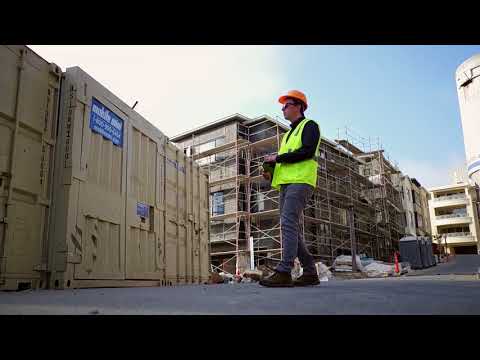
- Construction Professionals: Manage progress, track materials, and ensure safety with high-resolution aerial views and 3D mapping capabilities.
- Energy & Renewable Resource Operators: Quickly identify infrastructure issues, perform asset inspections, and monitor remote sites with real-time data insights.
- Agriculture Specialists: Optimize crop management through detailed field maps and performance analytics derived from aerial imagery.
- Survey and Mapping Experts: Leverage precise aerial data combined with advanced measurement tools to produce detailed maps catered to complex project needs.
DroneDeploy is continually enhancing its features to support mission-critical operations. Its robust framework ensures that users can not only plan and execute drone flights seamlessly but also share valuable data with stakeholders in an accessible format. For organizations looking to maximize efficiency and accuracy in data capture, the platform offers an ideal solution.
Discover exclusive deals to get started with DroneDeploy today, and explore the alternatives available in the market: