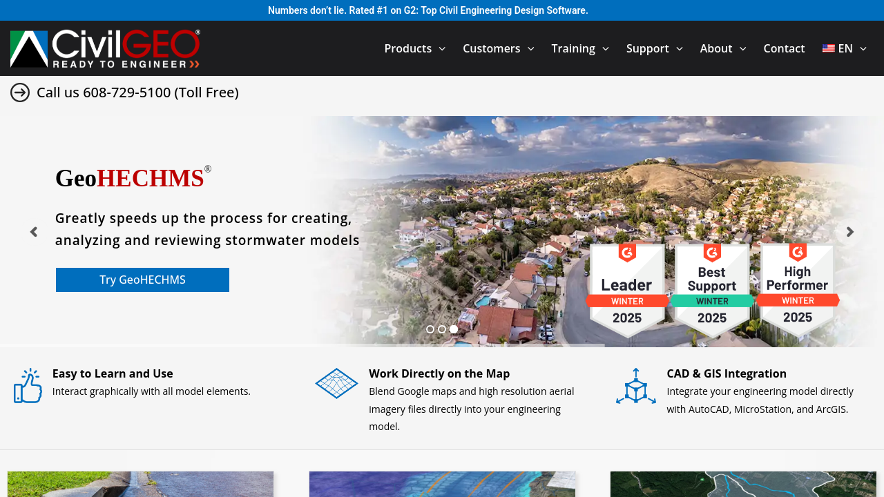
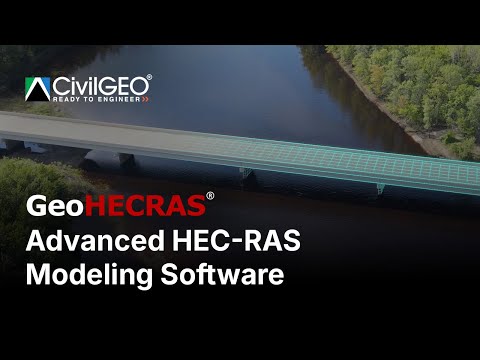
GeoHECRAS is a cutting-edge solution in the Engineering Simulation category, designed to accelerate hydraulic and hydrologic modeling for civil engineering projects. This comprehensive platform streamlines the creation of HEC-RAS models, offering advanced tools to compute water surface profiles, analyze bridges or culverts, manage floodplain encroachments, and more. Its integration with CAD tools like AutoCAD, MicroStation, and GIS platforms such as ArcGIS makes it a versatile choice for complex projects requiring precise modeling and analysis. Explore exclusive GeoHECRAS deals. For similar solutions, consider MicroStation, ZWCAD, or Civil 3D.
Why Use GeoHECRAS?
Choosing GeoHECRAS offers numerous advantages for civil engineers:
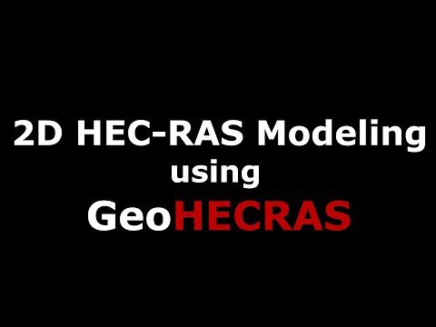
- Versatile Modeling Tools: Create both 1D and 2D flow models with intuitive tools for digital terrain cross-section cutting, automated bridge sizing, and FEMA floodplain mapping.
- Seamless Integration: Fully compatible with widely used software, including AutoCAD, MicroStation, and ESRI ArcGIS, enabling smoother workflows.
- Rapid Model Development: Quickly build HEC-RAS models with features like LiDAR terrain processing, automated GIS mapping, and what-if scenario analysis.
- Advanced Visualizations: Generate stunning 3D visualizations of model results to enhance reporting and stakeholder presentations.
- User-Friendly Interface: Its easy-to-use platform simplifies challenging engineering tasks like stream restoration and reservoir design with improved efficiency.
Who is GeoHECRAS For?
GeoHECRAS serves professionals involved in hydraulic and hydrologic engineering tasks:
- Civil Engineers: An indispensable tool for designing bridges, culverts, and floodplain encroachments.
- Hydrological Experts: Ideal for floodplain analysis, stream restorations, and water flow modeling.
- Transportation Planners: Use its accurate modeling capabilities for designing road crossings and transportation systems.
- Project Managers: Optimize time and resources with automated features that reduce manual effort and improve accuracy across workflows.
With its robust features, seamless integrations, and exceptional ease of use, GeoHECRAS is a top choice for any civil engineering application involving water resource management and modeling. Explore advanced tools and stay ahead with this all-in-one modeling solution.