TargomoAPI is a cutting-edge solution in the Geospatial Analytics category that empowers developers to create high-end location intelligence applications. Built with performance in mind, the API delivers lightning-fast processing and precise routing, making it an ideal choice for businesses seeking to enhance location search and personalize user experiences through detailed geospatial data.
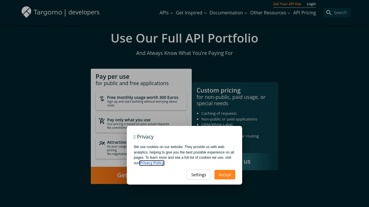
At its core, TargomoAPI provides advanced tools to calculate travel times, optimize routes, generate isochrone polygons, and pinpoint points of interest. Its versatile capabilities allow companies to integrate comprehensive travel-time analytics into their applications, ensuring that users can make informed decisions based on accurate accessibility data. With a pay-as-you-go pricing model, including a 300 EUR monthly free credit for public and free applications, TargomoAPI offers a flexible and scalable solution, as well as attractive volume pricing for high-demand scenarios.
Why Use TargomoAPI?
- Fast & Performant: Benefit from high-speed processing and precise routing that ensure minimal response times, even during complex calculations.
- Highly Customizable: Adapt the API to suit diverse and intricate use cases by leveraging its built-in customization features, accommodating unique business requirements.
- Advanced Analytics: Utilize calculated travel times and rich statistical data to craft new features and deliver deeper insights, elevating the overall user experience.
- Scalable Pricing: Get started quickly with a cost-effective pay-as-you-go model and enjoy benefits from volume pricing on larger projects.
TargomoAPI is specially designed for developers and product teams seeking to streamline the integration of geospatial analytics into their products. Its robust performance and customizability facilitate the development of tailored location-based applications, while its advanced data insights make it an indispensable tool for enhancing customer experiences and optimizing operations.
Who is TargomoAPI For?
- Developers: Enjoy seamless integration, rapid route optimizations, and detailed isochrone mapping, reducing development time significantly.
- Product Managers: Enhance your offerings by incorporating precise travel time analytics and customizable geospatial data visualizations that drive customer engagement.
- Data Analysts: Leverage reliable, high-performance analytics to extract actionable insights and improve decision-making processes across various projects.
- Enterprises: Scale your operations with a flexible pricing model that caters to both small-scale and high-volume applications.
Discover exclusive deals on TargomoAPI deals and learn how this powerful tool can transform your geospatial applications. When looking for alternatives for your location analytics needs, consider options like Jawg Maps, AutoCAD, and BatchGeo. With TargomoAPI, empower your digital solutions with state-of-the-art geospatial analytics that drive innovation and performance in today’s competitive landscape.