Top software categories
Business Intelligence, Data Integration and SEO Analytics.
Fintech and Banking and Financial Management.
Project Management, Time Tracking and Collaboration Tools.
AI Tools, Video Editing, AI Writing Assistant and Audio Editing Software.
CRM, Call Center Software and Customer Feedback Software.
Web Development & Design, Software Testing Tools and API Tools.
Medical Practice Management and Digital Health Solutions.
HR Management, Recruiting and Payroll Software.
Marketing Automation, Email Marketing and SMS Marketing.
Cybersecurity, Data Protection and Email Security.
Create Your Product Profile
Buyers and AI assistants check what others say about your product long before they talk to sales. Own that reputation and turn it into pipeline.
Want help? we set it up with you, Book a call
Top service categories
Oracle Cloud, AWS and Azure partners for migration, DevOps and managed cloud.
Webflow, Framer and Shopify agencies, and UX/UI studios.
Oracle, NetSuite, SAP and Microsoft Dynamics implementation partners.
Workday and BambooHR implementers, payroll and HR outsourcing.
AI implementation, data engineering and BI teams.
Fractional CFOs, bookkeeping and QuickBooks or Xero advisors.
Salesforce, HubSpot and Zoho partners for setup, migration and RevOps.
Branding, design and video production studios.
Cybersecurity, SOC 2 and ISO 27001 consultants.
Zapier, Make and n8n experts who build and maintain workflows.
SEO, paid ads, content and marketing automation agencies.
Custom software, mobile apps, QA and low-code builds.

Create Your Company Profile
Show up as the verified expert on the products you work with, and get calls booked by teams ready to buy.
Want help? we set it up with you, Book a call

Claim this profile to manage it.
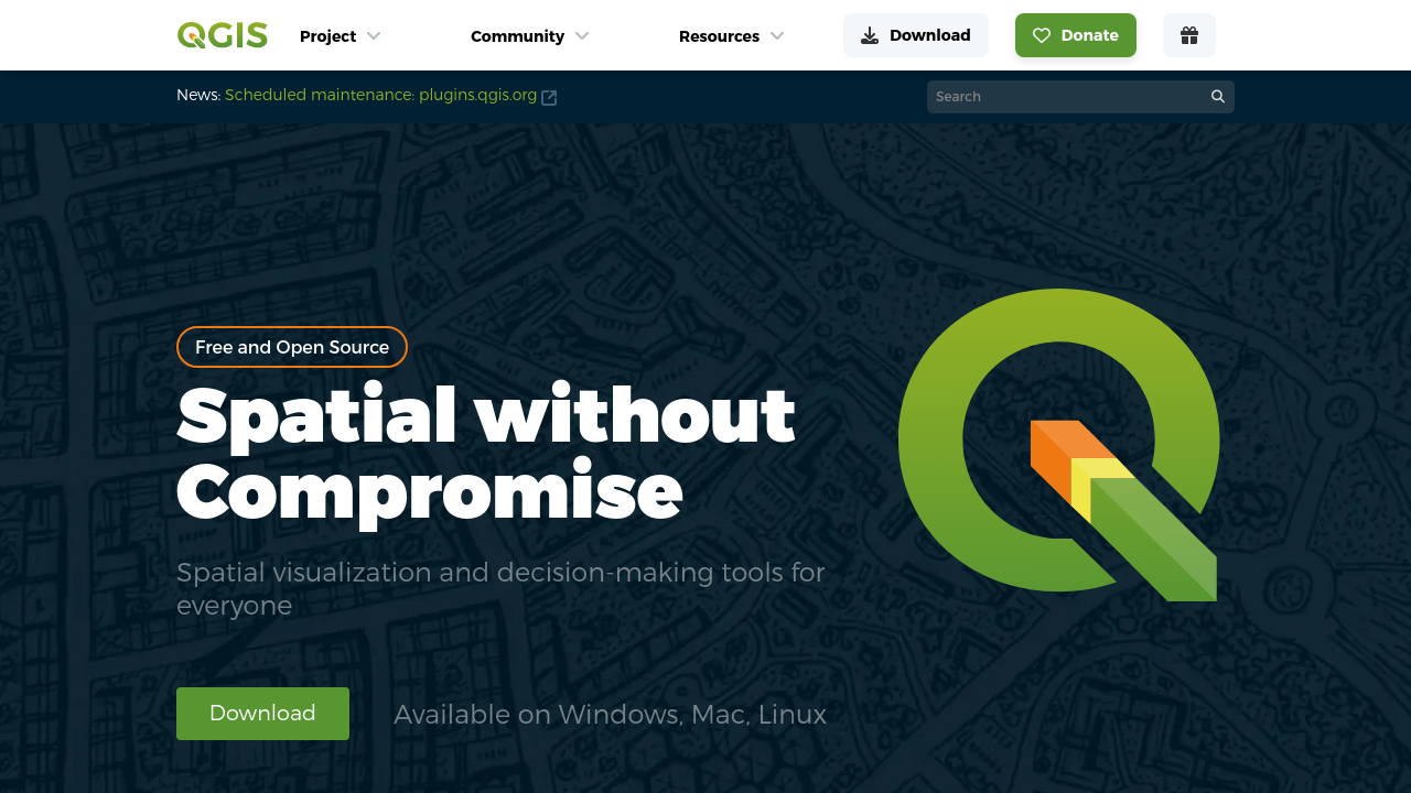
QGIS is a leading open source solution that empowers professionals to visualize, manage, edit, analyze, and publish spatial data on multiple platforms. As a flagship product in the Geospatial Analytics category, QGIS provides a comprehensive suite of tools that simplify complex geospatial tasks while offering the flexibility required for diverse project needs. With support for vector, raster, and database formats, it enables users to create printable maps and insightful spatial reports—all without cost.
Key Features and Capabilities
QGIS continually evolves through regular updates and a thriving community of developers. Its extensive library of third-party plugins further extends its functionality, allowing users to customize their experience and adapt the platform to a wide range of geospatial demands. Whether it is processing large datasets or generating detailed geostatistical maps, QGIS remains a powerful ally for professionals across industries.
Why Use QGIS?
Who is QGIS For?
Discover exclusive deals on QGIS by visiting the deal page and explore how this powerful platform can streamline your geospatial workflows. For alternative solutions in the mapping arena, consider AutoCAD and Google Earth Pro, which offer different approaches to spatial data management.
With its comprehensive features, ease of accessibility, and a dedicated community continuously driving innovation, QGIS stands out as an indispensable tool for anyone working in the realm of geospatial analytics.
QGIS is a leading open source solution that empowers professionals to visualize, manage, edit, analyze, and publish spatial data on multiple platforms. As a flagship product in the Geospatial Analytics category, QGIS provides a comprehensive suite of tools that simplify complex geospatial tasks while offering the flexibility required for diverse project needs. With support for vector, raster, and database formats, it enables users to create printable maps and insightful spatial reports—all without cost.
Key Features and Capabilities
QGIS continually evolves through regular updates and a thriving community of developers. Its extensive library of third-party plugins further extends its functionality, allowing users to customize their experience and adapt the platform to a wide range of geospatial demands. Whether it is processing large datasets or generating detailed geostatistical maps, QGIS remains a powerful ally for professionals across industries.
Why Use QGIS?
Who is QGIS For?
Discover exclusive deals on QGIS by visiting the deal page and explore how this powerful platform can streamline your geospatial workflows. For alternative solutions in the mapping arena, consider AutoCAD and Google Earth Pro, which offer different approaches to spatial data management.
With its comprehensive features, ease of accessibility, and a dedicated community continuously driving innovation, QGIS stands out as an indispensable tool for anyone working in the realm of geospatial analytics.
Learn what people say about QGIS
QGIS is a leading open source solution that empowers professionals to visualize, manage, edit, analyze, and publish spatial data on multiple platforms. As a flagship product in the Geospatial Analytics category, QGIS provides a comprehensive suite of tools that simplify complex geospatial tasks while offering the flexibility required for diverse project needs. With support for vector, raster, and database formats, it enables users to create printable maps and insightful spatial reports—all without cost.
Key Features and Capabilities
QGIS continually evolves through regular updates and a thriving community of developers. Its extensive library of third-party plugins further extends its functionality, allowing users to customize their experience and adapt the platform to a wide range of geospatial demands. Whether it is processing large datasets or generating detailed geostatistical maps, QGIS remains a powerful ally for professionals across industries.
Why Use QGIS?
Who is QGIS For?
Discover exclusive deals on QGIS by visiting the deal page and explore how this powerful platform can streamline your geospatial workflows. For alternative solutions in the mapping arena, consider AutoCAD and Google Earth Pro, which offer different approaches to spatial data management.
With its comprehensive features, ease of accessibility, and a dedicated community continuously driving innovation, QGIS stands out as an indispensable tool for anyone working in the realm of geospatial analytics.
To cancel a QGIS product subscription, such as QGIS Cloud, follow these steps:
Want to list your product on Subscribed.fyi? Create a profile to reach more buyers.