Sign in to review
Join our community of software reviewers on Subscribed.fyi

Continue With Google
Continue With LinkedIn
Continue Review with Email
Continue with Email
Enter your email to continue.
Continue
Enter your password
Enter your password to finish setting up your account.
Continue
Activate your email
Enter activation code we sent to your email.
Submit
Reset your password
Enter activation code we sent to your email.
Submit
Set your new password
Enter a new password for your account.
Submit
Log in
Provide My Insights
Global Mapper logo
Global Mapper logo

Global Mapper Reviews, Pricing, Features & Alternatives (2026)

Global Mapper is a powerful, user-friendly GIS software designed for both professionals and beginners in geospatial analysis. It supports a wide range of spatial data formats, enabling efficient map creation, terrain modeling, and data processing. With advanced features like 3D visualization, GPS tracking, and raster analysis, it simplifies complex tasks for organizations of any size. Its intuitive interface ensures easy adoption and maximized productivity.

Global Mapper logo
Global Mapper logo
Global Mapper logo

Global Mapper Overview

What is Global Mapper?

N/A
★ ★ ★ ★ ★
0
Reviews

Available for Claim - This listing is available to be claimed
Claim Profile

Unclaimed

Claim this profile to manage it.

Claim Profile

Why teams choose Global Mapper

Key Features

Secure by Design
Secure by Design
Data protection and compliance built in.
Collaborate Easily
Collaborate Easily
Built for teams and communication.
Plug & Play Setup
Plug & Play Setup
Get started in minutes, not weeks.

Who is Global Mapper for?

Global Mapper Overview

Global Mapper is a premier solution in the Geospatial Analytics category, providing robust and intuitive GIS tools for businesses, geospatial professionals, and mapping enthusiasts. Its user-friendly interface, combined with extensive support for various file formats, ensures seamless operation for users of all expertise levels. The software enables terrain creation, raster analysis, GPS tracking, contour generation, and thematic mapping, optimizing data processing and map creation for organizations of any size. Find exclusive deals on this powerful tool. For alternatives, explore QGIS or Google Earth Pro.

Why Use Global Mapper?

Global Mapper provides exceptional value, functionality, and ease of use. Here’s why it may be the right choice for your geospatial and mapping needs:

  • Comprehensive GIS Functionality: Global Mapper simplifies complex GIS tasks like watershed delineation, flood simulation, and volume calculations through an intuitive interface and advanced tools.
  • Extensive Data Format Support: The software supports a wide range of spatial data formats, making it highly compatible with other GIS solutions and allowing effortless data imports and exports.
  • Advanced Terrain and Elevation Tools: With tools for Digital Elevation Models (DEM), 3D terrain visualization, and raster analysis, Global Mapper is ideal for detailed elevation modeling and analysis.
  • Integration Ready: Built-in functionalities enable seamless integration with other geospatial data platforms, supporting collaboration and workflow continuity.
  • Cost-Effective & Scalable: Global Mapper provides advanced GIS capabilities at a competitive price, suitable for businesses and individual users alike.

Who is Global Mapper For?

Global Mapper is designed to assist a broad spectrum of users and industries:

  • GIS Professionals and Researchers: Easy access to tools and data formats enables efficient spatial analysis for complex projects.
  • Urban Planners and Developers: Offers detailed terrain modeling and raster functionality for city planning and environmental projects.
  • Engineering Firms: Precise contour generation and 3D mapping enhance project visualization and planning efficiency.

With its robust features, flexibility, and competitive pricing, Global Mapper is a trusted GIS application that meets diverse geospatial analytics needs effortlessly.

Global Mapper Summary

Global Mapper Overview

Global Mapper is a premier solution in the Geospatial Analytics category, providing robust and intuitive GIS tools for businesses, geospatial professionals, and mapping enthusiasts. Its user-friendly interface, combined with extensive support for various file formats, ensures seamless operation for users of all expertise levels. The software enables terrain creation, raster analysis, GPS tracking, contour generation, and thematic mapping, optimizing data processing and map creation for organizations of any size. Find exclusive deals on this powerful tool. For alternatives, explore QGIS or Google Earth Pro.

Why Use Global Mapper?

Global Mapper provides exceptional value, functionality, and ease of use. Here’s why it may be the right choice for your geospatial and mapping needs:

  • Comprehensive GIS Functionality: Global Mapper simplifies complex GIS tasks like watershed delineation, flood simulation, and volume calculations through an intuitive interface and advanced tools.
  • Extensive Data Format Support: The software supports a wide range of spatial data formats, making it highly compatible with other GIS solutions and allowing effortless data imports and exports.
  • Advanced Terrain and Elevation Tools: With tools for Digital Elevation Models (DEM), 3D terrain visualization, and raster analysis, Global Mapper is ideal for detailed elevation modeling and analysis.
  • Integration Ready: Built-in functionalities enable seamless integration with other geospatial data platforms, supporting collaboration and workflow continuity.
  • Cost-Effective & Scalable: Global Mapper provides advanced GIS capabilities at a competitive price, suitable for businesses and individual users alike.

Who is Global Mapper For?

Global Mapper is designed to assist a broad spectrum of users and industries:

  • GIS Professionals and Researchers: Easy access to tools and data formats enables efficient spatial analysis for complex projects.
  • Urban Planners and Developers: Offers detailed terrain modeling and raster functionality for city planning and environmental projects.
  • Engineering Firms: Precise contour generation and 3D mapping enhance project visualization and planning efficiency.

With its robust features, flexibility, and competitive pricing, Global Mapper is a trusted GIS application that meets diverse geospatial analytics needs effortlessly.

Global Mapper reviews and insights

Learn what people say about Global Mapper

N/A ★ ★ ★ ★ ★
0 Reviews

No Reviews Yet!

Be the first to share your experience and help others in the community.

Global Mapper logo

Global Mapper User Reviews

0 User Reviews

Reviews from G2, Capterra, Trustpilot
info Icon

These ratings come directly from third-party platforms like G2, Capterra, and Trustpilot. They reflect real user feedback collected independently on those sites.

Global Mapper pricing

Pricing model

Global Mapper logo
Pricing Range
info Icon

This only an estimated pricing range, visit Global Mapper pricing page to access all the information by clicking “Visit Now”.

$0.05k-5.25k / Month
Deals Available

This product comes with a special deal, see details

Visit Now

Overview

Global Mapper Overview

Global Mapper is a premier solution in the Geospatial Analytics category, providing robust and intuitive GIS tools for businesses, geospatial professionals, and mapping enthusiasts. Its user-friendly interface, combined with extensive support for various file formats, ensures seamless operation for users of all expertise levels. The software enables terrain creation, raster analysis, GPS tracking, contour generation, and thematic mapping, optimizing data processing and map creation for organizations of any size. Find exclusive deals on this powerful tool. For alternatives, explore QGIS or Google Earth Pro.

Why Use Global Mapper?

Global Mapper provides exceptional value, functionality, and ease of use. Here’s why it may be the right choice for your geospatial and mapping needs:

  • Comprehensive GIS Functionality: Global Mapper simplifies complex GIS tasks like watershed delineation, flood simulation, and volume calculations through an intuitive interface and advanced tools.
  • Extensive Data Format Support: The software supports a wide range of spatial data formats, making it highly compatible with other GIS solutions and allowing effortless data imports and exports.
  • Advanced Terrain and Elevation Tools: With tools for Digital Elevation Models (DEM), 3D terrain visualization, and raster analysis, Global Mapper is ideal for detailed elevation modeling and analysis.
  • Integration Ready: Built-in functionalities enable seamless integration with other geospatial data platforms, supporting collaboration and workflow continuity.
  • Cost-Effective & Scalable: Global Mapper provides advanced GIS capabilities at a competitive price, suitable for businesses and individual users alike.

Who is Global Mapper For?

Global Mapper is designed to assist a broad spectrum of users and industries:

  • GIS Professionals and Researchers: Easy access to tools and data formats enables efficient spatial analysis for complex projects.
  • Urban Planners and Developers: Offers detailed terrain modeling and raster functionality for city planning and environmental projects.
  • Engineering Firms: Precise contour generation and 3D mapping enhance project visualization and planning efficiency.

With its robust features, flexibility, and competitive pricing, Global Mapper is a trusted GIS application that meets diverse geospatial analytics needs effortlessly.

Where Global Mapper performs best

What users like
  • Easy to use interface and tools
  • Supports multiple file formats
  • Efficient for raster data analysis
  • Advanced image processing options

Where Global Mapper falls short

What users dislike
  • High licensing cost
  • Hardware compatibility issues
  • Requires significant processing power
  • Limited File Geodatabase support
Global Mapper Pricing Range
$0.05k-5.25k / Month

Global Mapper in action
info Icon

A curated gallery of real screenshots and use cases from the product, so you can see how it works before trying it.

Global Mapper screenshot 1 Full Screen Icon
Global Mapper screenshot 2 Full Screen Icon
https://www.youtube.com/watch?v=Jy1ysND4F_w
Full Screen Icon
https://www.youtube.com/watch?v=dQRkJBokcvk
Full Screen Icon
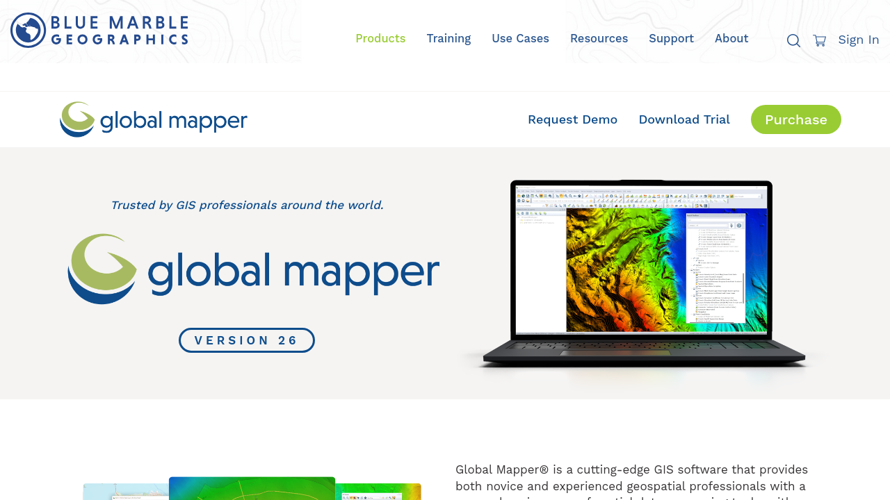
Global Mapper screenshot 1
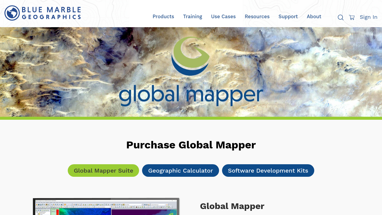
Global Mapper screenshot 2
Video thumbnail
Video thumbnail
Global Mapper screenshot 1
Global Mapper screenshot 2

Alternatives to Global Mapper
info Icon

A list of platforms similar to Global Mapper, helping you evaluate which tool best matches your needs.

How to cancel Global Mapper

Need to cancel Global Mapper? Here is how
info Icon

Thinking about how to cancel Global Mapper this is how you do it!

To cancel a Global Mapper license, open the software, go to Help > License Manager, and select Release/Remove. This process generates a removal code, allowing you to transfer the license to another machine. If offline, send the removal code or file to Blue Marble for authorization.

How to Cancel the Global Mapper

To cancel a Global Mapper license, open the software, go to Help > License Manager, and select Release/Remove. This process generates a removal code, allowing you to transfer the license to another machine. If offline, send the removal code or file to Blue Marble for authorization.

Manage your Global Mapper profile

Create profile

Want to list your product on Subscribed.fyi? Create a profile to reach more buyers.

Pricing Range
info Icon

This only an estimated pricing range, visit Global Mapper pricing page to access all the information by clicking “Visit Now”.

$0.05k-5.25k / Month
Visit Now
Deals Available

This product comes with a special deal, see details

This product comes with a special deal, see details