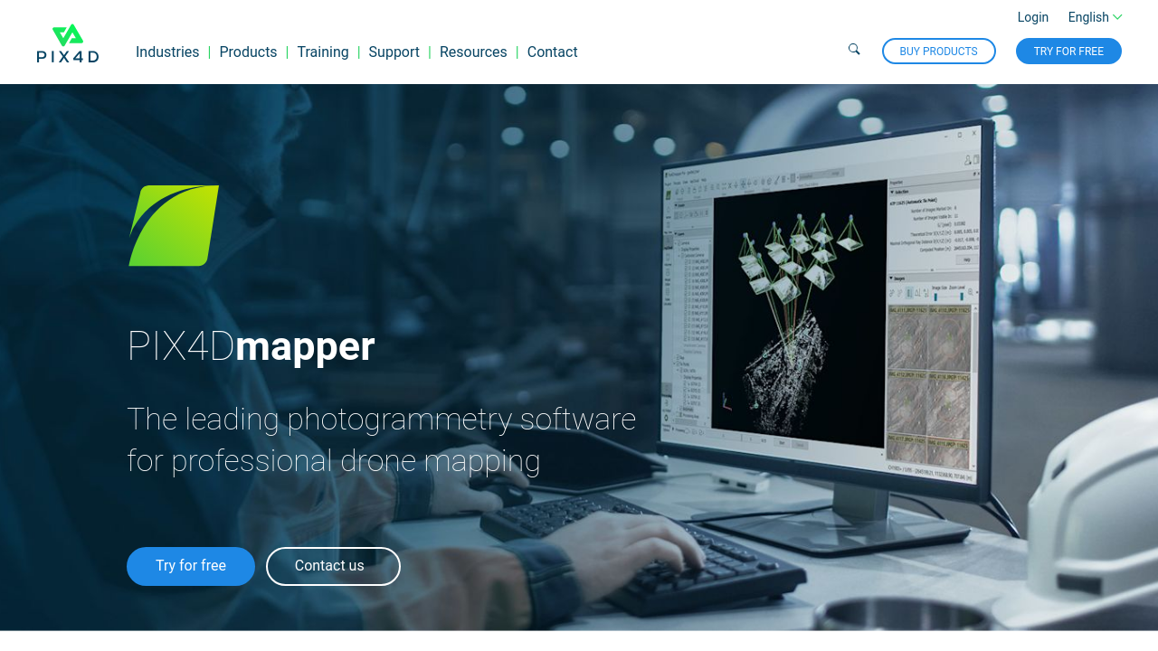
PIX4Dmapper is the leading photogrammetry solution designed for transforming images captured by drones, planes, or even handheld devices into highly precise, georeferenced 2D maps and 3D models. Serving professionals across surveying, architecture, agriculture, infrastructure, and public safety, PIX4Dmapper combines advanced processing algorithms with an intuitive interface to deliver accurate and customizable mapping outputs that complement a wide range of applications.
Designed with versatility in mind, PIX4Dmapper empowers users to generate detailed outputs such as orthomosaics, digital surface models, textured 3D meshes, and even thermal maps. These capabilities allow professionals to capture spatial data in a form that enhances project presentations and supports critical decision-making processes. Whether you are mapping expansive terrains or capturing intricate details, PIX4Dmapper adapts seamlessly to meet the demands of diverse industries.
Key Features and Benefits:
- Automated Image Processing: The software automatically converts raw imagery into precise spatial data, saving valuable time and reducing errors in manual processing.
- High-Quality Georeferencing: Deliver accurate maps and models that integrate smoothly with other geospatial tools and platforms, supporting a broad range of professional applications.
- Customizable Workflows: Tailor processing parameters to fit specific project requirements, ensuring that each deliverable meets the optimal standard.
- Robust Integration: Compatible with various hardware configurations and complementary software solutions, PIX4Dmapper streamlines the workflow from data capture to final output.
Targeted at professionals who require precision and efficiency, PIX4Dmapper is an essential tool in the 3D Design category. The platform not only facilitates the generation of high-quality maps and models but also enhances the overall data presentation, thereby elevating the quality of project outcomes.
To explore this powerful photogrammetry software further, visit the official product homepage at PIX4Dmapper and check out exclusive offers available on the deals page.
Alternative Solutions:
By leveraging PIX4Dmapper, professionals can enhance the efficiency and accuracy of spatial data collection and processing. The solution’s versatility and robust feature set make it an indispensable tool for anyone involved in the generation of high-definition maps and models, ensuring that every detail is captured and delivered with exceptional precision.