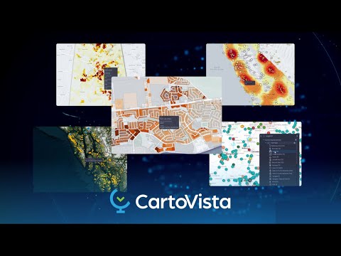
CartoVista is an advanced solution within the Geospatial Analytics category, offering businesses the ability to revolutionize their data visualization through interactive and actionable mapping. Designed to transform data into comprehensive maps, CartoVista empowers companies across various industries to undertake in-depth data analysis and deliver impactful communications through innovative cartographic options. Explore exclusive deals. For additional options, consider QGIS, AutoCAD, and BatchGeo.
Why Use CartoVista?
Choosing CartoVista brings numerous advantages to organizations aiming to enhance their geospatial analysis and decision-making capabilities:
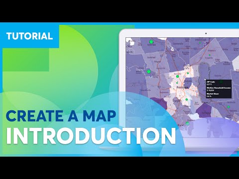
- Comprehensive Data Visualization: CartoVista transforms various data formats, including spreadsheets and GIS data, into visually appealing and interactive maps, enabling deeper insights and strategic storytelling.
- Customizable and User-Friendly: The platform offers extensive customization options and an intuitive interface, meaning users with different skill levels can effectively present complex datasets.
- Actionable Business Insights: With integration into business tools, CartoVista delivers actionable insights, enabling better strategic planning through dynamic charts and data tables.
- Industry Applications: CartoVista’s versatility allows usage across multiple sectors, from insurance to environmental services, providing real-time mapping solutions tailored to specific industry needs.
- Seamless Integration with GIS Software: The ability to integrate with GIS and CAD systems ensures smooth workflows for advanced mapping or dataset management.
Who is CartoVista For?
CartoVista is ideal for diverse organizations and professionals:
- Business Analysts: Uncover critical trends and insights through advanced data mapping and analysis tools tailored for impactful decision-making.
- Government Agencies: Use CartoVista’s robust mapping capabilities for electoral analysis, administration, and public service optimization.
- Environmental Specialists: Leverage GIS integration to visualize and analyze environmental data, enhancing research and operational efficiency.
- Consultants and Developers: Offer clients interactive mapping solutions with CartoVista’s powerful SDK, ensuring customization to meet specific business goals.
CartoVista brings a dynamic edge to geospatial analysis, empowering businesses to craft visually compelling narratives, streamline mapping processes, and make data-driven decisions with confidence.